Wednesday, October 30. 2013
Facebook may start tracking your cursor as you browse the site
Via The Verge
-----
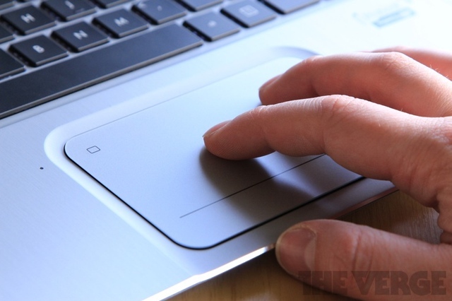
For some time Facebook has studied your Likes, comments, and clicks to help create better ads and new products, but soon, the company might also track the location of your cursor on screen. Facebook analytics chief Ken Rudin told The Wall Street Journal about several new measures the company is testing meant to help improve its user-tracking, like seeing how long you hover your cursor over an ad (and if you click it), and evaluating if certain elements on screen are within view or are off the page. New data gathered using these methods could help Facebook create more engaging News Feed layouts and ads.
The Journal notes that this kind of tracking is hardly uncommon, but until now, Facebook hadn't gone this deep in its behavioral data measurement. Sites like Shutterstock, for example, track how long users hover their cursors over an image before deciding to buy it. Facebook is famous for its liberal use of A/B testing to try out new products on consumers, but it's using the same method to judge the efficacy of its new testing methods. "Facebook should know within months whether it makes sense to incorporate the new data collection into the business," reports the Journal.
Assuming Facebook's tests go well, it shouldn't be long before our every flinch is tracked on the site. So what might come next? Our eyeballs.
The Matterhorn like you've never seen it
Quicksearch
Popular Entries
- The great Ars Android interface shootout (131491)
- Norton cyber crime study offers striking revenue loss statistics (102340)
- MeCam $49 flying camera concept follows you around, streams video to your phone (100502)
- The PC inside your phone: A guide to the system-on-a-chip (58677)
- Norton cyber crime study offers striking revenue loss statistics (58569)
